



Civilian Life and Defence Both Depend on Space: A Guide to the Shared Space Services
Table of Contents
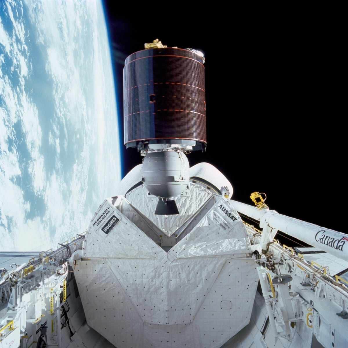
Space is part of everyday life in Australia. Satellites help produce weather forecasts, guide navigation, support payments, connect people in remote areas and help emergency managers watch for bushfires. Defence relies on the same kinds of space services: positioning, navigation and timing, long-range communications and intelligence gathering. [1] [2] [6] [8]
Defence makes the same point on its space domain page, saying Australian citizens routinely rely on the space domain for everyday activities such as checking the weather, completing an online purchase and navigating a road trip using their car's GPS. [8] That shared reliance is a useful way into a topic that can feel remote. The guide below lists seven everyday space services, what official Australian sources say about each, and where the Defence connection lies. It describes only what public sources state.
What are satellites used for? Seven shared space services
1. Weather forecasts
The Bureau of Meteorology says it uses data from more than 40 geostationary and polar-orbiting satellites, and that satellites provide more than 90% of the data used in weather forecast models. Their imagery, the Bureau says, provides vital situational awareness that enhances forecast accuracy and timeliness. [3]
The Himawari-9 satellite's instrument observes the Earth, ocean and atmosphere in 16 bands every 10 minutes, and its images enable forecasters to monitor the intensity of tropical cyclones over the ocean. Polar-orbiting satellites usually observe the same spot on Earth about twice a day. [3] The Australian Space Agency sums it up simply: "Weather satellites help improve accuracy of the forecasts." [1]
2. Navigation and positioning
Finding your way, avoiding traffic and dropping a location pin all use GPS, according to the Australian Space Agency. [1] The Southern Positioning Augmentation Network (SouthPAN), a joint initiative between Geoscience Australia and Toitū Te Whenua Land Information New Zealand, adds more precise positioning. [4]
Geoscience Australia describes SouthPAN as offering precise positioning at sub-metre accuracy and, in some cases, as little as 10 centimetres, broadcast to users throughout Australia and New Zealand. In May 2024 it reported service availability rising to 99.5%, up from 95%, and named agriculture, transportation and spatial sciences among the industries supported. It described the upgrade as a significant step towards full operational services, including safety of life certification for aviation in 2028. [4] Check Geoscience Australia for the current status, as that article is from 2024.
Satellite navigation is convenient, but outdoor navigation skills still have a place. If you head bush, a map and compass are worth learning alongside a phone. Military Shop's compasses range includes the Silva Military Ranger 3-6400/360 Green MS (NATO) Compass.
3. Banking and payments
Many people never think about space when they tap a card or move money. The Australian Space Agency states: "Transferring funds is instant and secure, with the help of GPS and communication satellites." [1]
The word "timing" matters here. An Air Force education page lists positioning, navigation and timing first among the military space services it describes, and Defence names positioning, navigation and timing among the space-based services much of the force relies on. [6] [8] Civilian and military users therefore rely on the same category of space services, even though their systems and purposes differ.
4. Communications in remote places
The Australian Space Agency notes that "Satellites provide phone and internet access in planes, boats and remote areas." [1] For people working or travelling far from mobile towers, that reach of satellite communication is significant.
Defence has the same need. The Air Force education page lists over-the-horizon and long-range communications and command and control among military space services. [6] The Army says the Royal Australian Corps of Signals provides commanders with the means of controlling the battle using methods that include radio, fibre optic, microwave, information systems and satellite links. [5] Families with a Signals connection can browse Royal Australian Corps of Signals gifts and collectables. Related reading: our public introduction to the electromagnetic spectrum and the cyber domain.
5. Bushfire and flood monitoring
"Earth observation satellites improve responses to bushfires, floods and droughts," according to the Australian Space Agency. [1] The Agency also says space technology is transforming disaster responses in Australia, with satellites helping communities prepare and respond. [2]
One example is DEA Hotspots, part of Digital Earth Australia at Geoscience Australia. It is a national bushfire monitoring system that uses satellite sensors to detect areas producing high levels of infrared radiation, so emergency managers can monitor high threat areas. Geoscience Australia is clear about its limits: "DEA Hotspots is not to be used for safety of life decisions." [7]
During a bushfire or flood, always follow your state or territory emergency service and official warnings, not a satellite map.
6. Farming and productivity
Satellites also reach the paddock. The Australian Space Agency says agricultural equipment can be remotely controlled with the help of satellites, and lists this under smarter farming. [1] Geoscience Australia lists agriculture among the industries SouthPAN supports. [4]
7. Defence and national security
The Australian Space Agency states that "Defence uses a range of satellite technologies to protect Australia" and that intelligence gathering satellites are used to enhance Australia's national security. [1]
The Air Force education page describes military space services as including positioning, navigation and timing, force protection, intelligence gathering and targeting, and over-the-horizon and long-range communications and command and control. [6] Defence states that the military consequences of losing access to space are significant, with much of the force reliant on space-based meteorology, communications, intelligence, surveillance, reconnaissance, targeting, and positioning, navigation and timing. [8] These descriptions explain broad categories only. They do not reveal which satellites Defence uses or how they are protected. Our explainer on the ADF's multiple domains sets out how the space domain fits alongside the maritime, land, air and cyber domains.
The shared space services at a glance
| Service | Everyday use | Defence use described in public sources |
|---|---|---|
| Positioning, navigation and timing | GPS navigation, payments, precise positioning [1] [4] | Listed first among military space services [6] |
| Communications | Phone and internet in planes, boats and remote areas [1] | Long-range communications, command and control, satellite links [5] [6] |
| Earth observation | Weather forecasts, bushfire and flood response [1] [3] [7] | Intelligence gathering satellites support national security [1] [6] |
Why the shared dependence on space services matters
Because civilian and military users rely on similar space services, disruption to those services would not be confined to one group. Defence describes the military consequences of losing access to space as significant, and the everyday examples above show how much civilian life draws on the same kinds of service. [1] [8] For a wider view of how the ADF organises its forces, see our guide to services, commands and domains.
If someone in your family serves in a joint or ADF role, the Australian Defence Force collectables range is a starting point for a gift that reflects that service. Check each listing's stated service or unit association before choosing.
Sources
1 Australian Space Agency | Why does space matter? | date not shown | https://www.space.gov.au/about-agency/publications/why-does-space-matter
2 Australian Space Agency | Solutions shaping generations | date not shown | https://www.space.gov.au/node/695
3 Bureau of Meteorology | Satellites | published 29 September 2021, last modified 22 April 2026 | https://www.bom.gov.au/resources/learn-and-explore/radar-and-equipment-knowledge-centre/satellites
4 Geoscience Australia | SouthPAN upgrade delivers improved positioning services to users | 6 May 2024 | https://ga.gov.au/news/southpan-upgrade-delivers-improved-positioning-services-to-users
5 Australian Army | Royal Australian Corps of Signals | date not shown | https://army.gov.au/about-us/army-corps/royal-australian-corps-signals
6 Royal Australian Air Force | L54 (air and space power education page on military space services) | date not shown | https://airpower.airforce.gov.au/asp-iab/l54-2526
7 Geoscience Australia | DEA Hotspots | last updated 27 September 2024 | https://ga.gov.au/scientific-topics/dea/dea-data-and-products/dea-hotspots
8 Department of Defence | Space domain (Military domains) | date not shown | https://defence.gov.au/defence-activities/military-domains/space-domain