


Satellite Navigation Is Not Just a Map App: Understanding Positioning, Navigation and Timing
Table of Contents
- What is PNT? Three outputs, not one
- GNSS vs GPS: what's the difference?
- How GPS works: GPS timing is the key
- Timing keeps everyday systems in step
- Satellite navigation supports work across Australia
- Why Defence treats positioning, navigation and timing as a foundation
- GPS jamming, spoofing and space weather in Australia
- Do not rely on a single source
- Keep a backup to satellite navigation in your kit
- Sources
- FAQs
Satellite navigation is far more than the blue dot on a phone map. Positioning, navigation and timing, usually shortened to PNT, covers three jobs: giving a location, helping a user move from one point to another, and supplying precise time that many services depend on without anyone noticing. Australia's Cyber and Infrastructure Security Centre (CISC) describes PNT systems as vital to the operation of much of Australia's critical infrastructure, and Defence lists positioning, navigation and timing among the space-based services much of the force relies on. [1, 2]
That reliance on positioning, navigation and timing is the reason Defence and civilian agencies in Australia both talk about resilience. Satellite signals can be degraded, interfered with or lost, and official guidance warns that relying on a single source of PNT creates a vulnerability. [2] For anyone heading outdoors, the same principle applies on a smaller scale: a phone is useful, but it should not be the only way you know where you are.
What is PNT? Three outputs, not one
The three words in positioning, navigation and timing describe related but different things that satellite navigation delivers. Positioning answers "where am I?" Navigation uses that information to plan and follow a route. Timing provides an accurate time reference, and it is the output most people never think about.
GNSS vs GPS: what's the difference?
Geoscience Australia explains that to determine position, velocity and time, we rely on global navigation satellite system (GNSS) technology. [3] GNSS is the umbrella term for satellite navigation systems. The CISC factsheet describes the United States' Global Positioning System (GPS) as the most widely used GNSS in Australia and globally, and also names GLONASS operated by Russia, Galileo operated by the European Union and BeiDou operated by China. [2] When people say "GPS", they often mean satellite positioning in general, even when a device uses several of these systems.
How GPS works: GPS timing is the key
Satellite navigation depends on time. Training material prepared for the United Nations International Committee on GNSS describes the basic idea simply: a satellite with a known position transmits a regular time signal, and the receiver measures the signal's transmission time. [4]
The same material notes that at least four independent observations are needed to determine four unknown parameters: the receiver's three position coordinates and its clock error. [4] In practice, that is why a receiver needs signals from several satellites before it can settle on a fix.
This is also why timing is not a side feature of satellite navigation. The position itself is worked out from time measurements.
Timing keeps everyday systems in step
The CISC factsheet states that precise timing from space-based PNT services is essential to the delivery of services in the banking and financial, transport, energy, communications and data storage or processing sectors. [2] Most people using a banking app or making a phone call will never see that timing signal from satellite navigation, but systems behind those services may depend on it.
Australia also has its own official time reference. The National Measurement Institute (NMI) is the legal authority for time in Australia. It uses atomic clocks to maintain UTC (AUS), the Australian realisation of Coordinated Universal Time, and provides Australia's official time and frequency dissemination service. The CISC recommends that critical infrastructure operators use the NMI time service as a fallback where possible. [2]
Satellite navigation supports work across Australia
Defence's space domain overview gives everyday examples of how Australians rely on space, including checking the weather, completing an online purchase and navigating a road trip using a car's GPS. [1] Geoscience Australia says precise positioning is already delivering economic benefits and improved community safety across all industries, and that satellite positioning supports navigation and positioning "from smartphones to autonomous vehicles". [3]
Australia is also improving the accuracy of satellite navigation and positioning. Geoscience Australia states that the Southern Positioning Augmentation Network (SouthPAN) provides satellite-based augmentation services for Australia and New Zealand, that its early Open Services have been live since September 2022, and that safety-of-life certified SouthPAN services are planned in 2028. It says precise positioning from SouthPAN will offer accuracy at as little as 10 centimetres, compared with the previous 5 to 10 metres. [5] The 2028 services are a stated plan, not a service that is already delivered.
Why Defence treats positioning, navigation and timing as a foundation
Defence publishes a dedicated overview of the space domain, which sits alongside the other military domains. If you would like a plain-language guide to how those domains fit together, our article on the ADF's multiple domains is a good place to start.
Defence's space domain page lists position, navigation and timing as one of the space mission sets its space workforce will support. [1] In an August 2025 news article, Defence's Director Joint Positioning, Navigation and Timing described PNT as a foundational enabler to the way the ADF fights as an integrated force. The article says that for decades GPS has served as the primary source of accurate PNT data, which underpins almost every aspect of modern military operations, enabling precision targeting, navigation and force synchronisation across domains. [6]
The same article reported that Defence's Joint PNT Directorate, established in April 2024, had reached initial operating capability. Its work spans stakeholder engagement, training, test and evaluation, and capability development, and the article states the aim is for the ADF to operate effectively even when access to GPS is degraded or denied. [6] The public article does not describe specific alternative systems, and this blog does not speculate about them.
GPS jamming, spoofing and space weather in Australia
Satellite navigation signals can be disrupted in several ways. The CISC factsheet identifies: [2]
- Jamming: devices used to deliberately interfere with GNSS signals.
- Spoofing: the intentional transmission of fake signals that can give a user incorrect time or position information.
- Space weather: effects on the accuracy, availability, continuity and integrity of GNSS services.
Defence names jamming, spoofing and anti-satellite weapons as growing threats, and says it regularly conducts GPS jamming activities to assess how systems behave under denied conditions. [6] For civilians, the Australian Communications and Media Authority states that operating, supplying or possessing a GPS jammer is banned, and warns that GPS jammers affect the navigation systems used by emergency services. [7]
Do not rely on a single source
The CISC advice for critical infrastructure includes adopting multiple PNT sources and, where appropriate, considering multi-constellation GNSS receivers. It notes that multi-constellation receivers may not be appropriate for certain industries, such as aviation. [2] The broader message is redundancy: plan for the moment one source is unavailable.
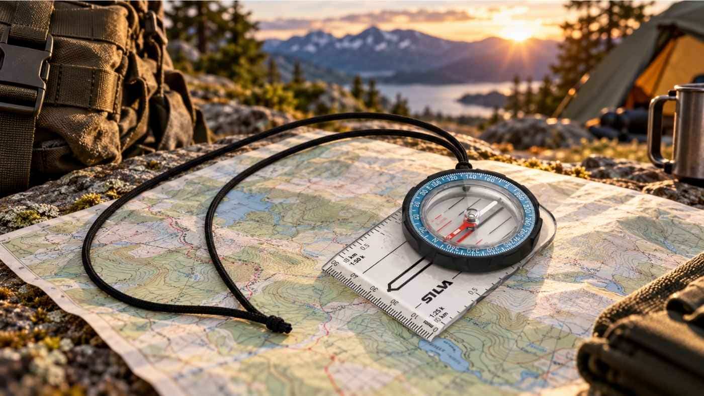
The same thinking works for bushwalkers, cadets, campers and anyone travelling off the beaten track. A phone or handheld GPS can run flat, lose a signal or be dropped. A paper map and compass give you an independent way to check your position and direction if satellite navigation fails, provided you have practised using them before you need them.
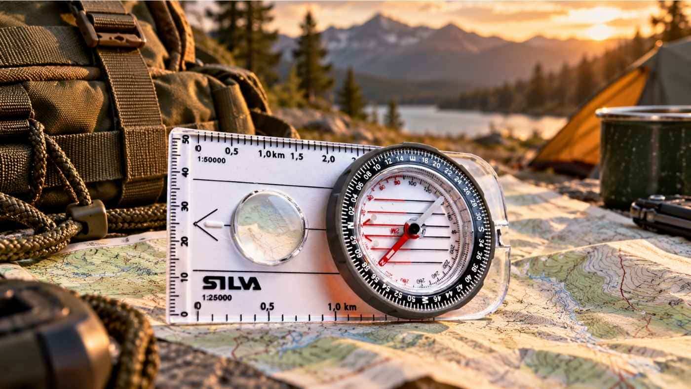
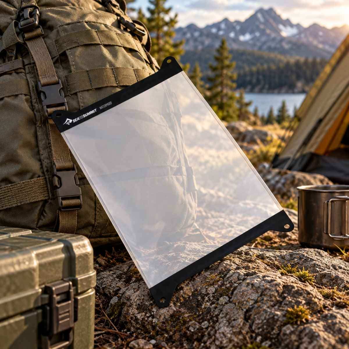
Military Shop's compasses range includes options for beginners and experienced navigators. The Silva Military Ranger 3-6400/360 Green MS (NATO) Compass is a military compass listed with graduations in 6400 mils and 360 degrees, a declination scale in the capsule and 1:25 000 and 1:50 000 scales. [8] To keep a paper map usable in wet weather, the TPU Guide Map Case Large is described in its listing as having a welded construction, being water and dustproof, and having a detachable neck strap. [9]
Keep a backup to satellite navigation in your kit
Satellite navigation is one of the quiet successes of the space age, and it does much more than draw a route on a screen. It tells systems what time it is, keeps networks in step and supports the ADF's integrated force. Knowing what positioning, navigation and timing involves helps make sense of why Defence and civilian agencies in Australia invest in resilience.
For your own trips, the lesson is practical. Use your phone or GPS, but carry a map and compass backup, learn to use them, and check official advice for the area you are visiting. Browse the compasses range if your kit needs a dependable backup.
Sources
- Department of Defence: Space domain
- Cyber and Infrastructure Security Centre, Department of Home Affairs: Factsheet for Critical Infrastructure: Positioning, Navigation and Timing (November 2024)
- Geoscience Australia: About Positioning Australia (6 May 2026)
- United Nations Office for Outer Space Affairs, ICG GNSS training (D. Manandhar, The University of Tokyo): Basic GNSS Introduction, Applications and Low-Cost Receiver Systems (January 2022)
- Geoscience Australia: Southern Positioning Augmentation Network (SouthPAN) (page last updated 13 October 2026)
- Department of Defence: Defence strengthens edge against GPS denial (25 August 2025)
- Australian Communications and Media Authority: GPS and mobile phone jammers
- Military Shop: Silva Military Ranger 3-6400/360 Green MS (NATO) Compass (SKU BN13187)
- Military Shop: TPU Guide Map Case Large (SKU BN2734)